
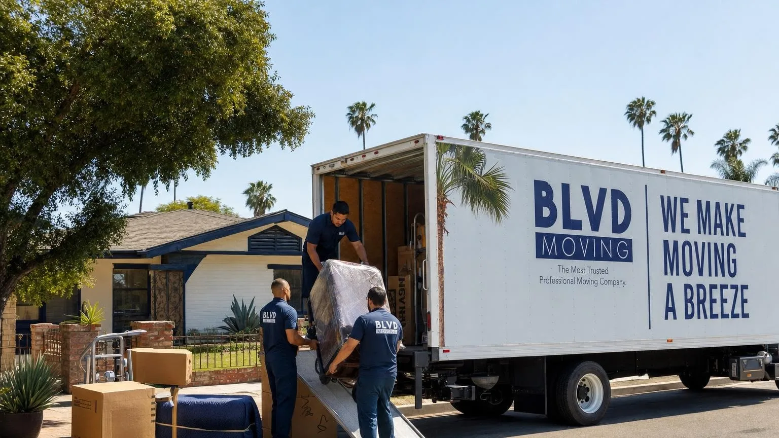
“The moving team was great! They were very friendly, careful with my belongings and took their time packing everything. Moving is a stressful time but BLVD made the process easy and seamless!”
 Read Reviews on Google
Bakersfield Moving Experts
Plan a Bakersfield move around street permits, State Route 99 and 58 access, summer heat, air quality, inventory, packing, and gated properties.
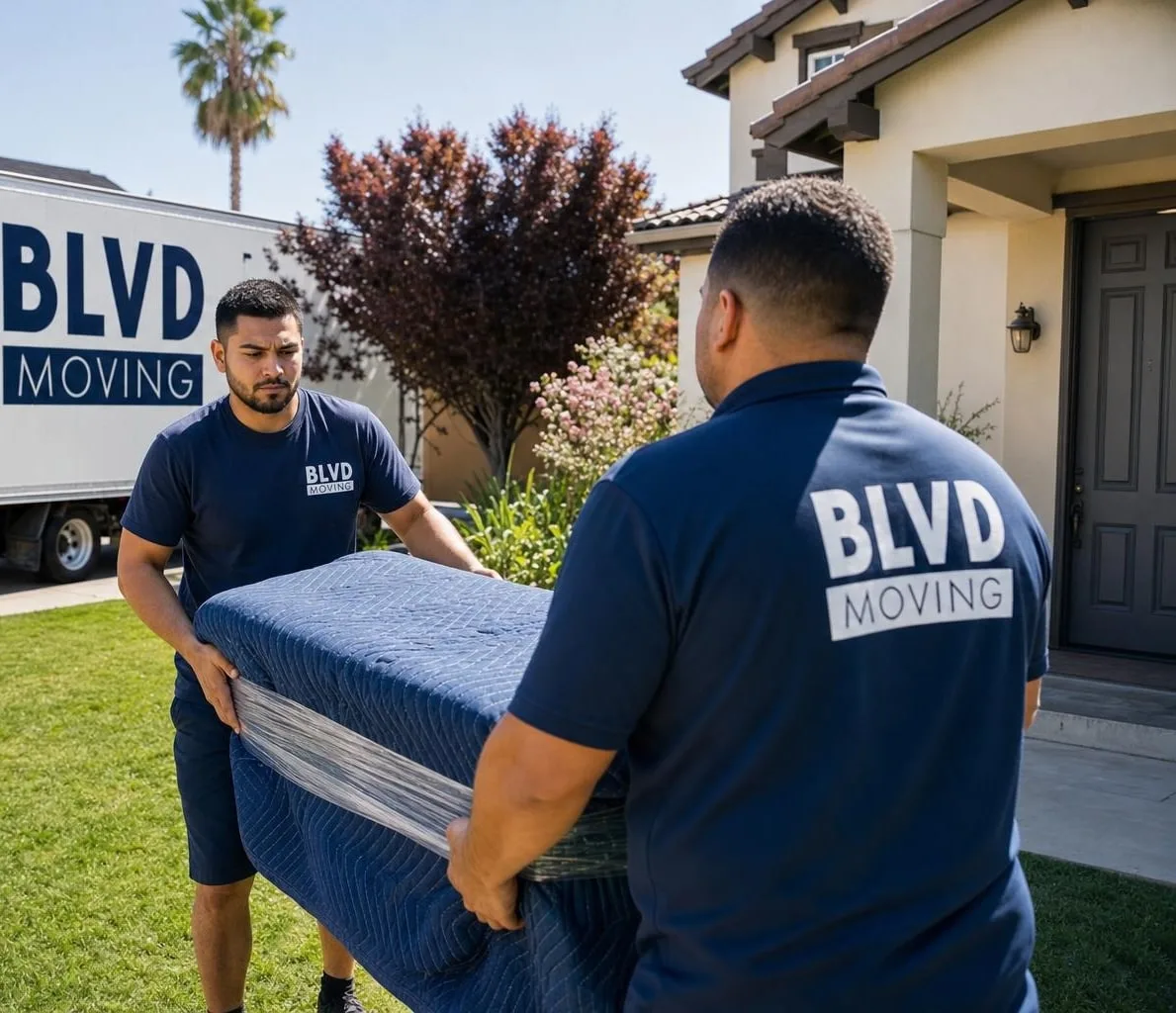
Your Local Moving Specialists
Planning a Move in Bakersfield
Bakersfield moves commonly use State Route 99, State Route 58, and major arterials before reaching suburban streets, gated communities, apartments, or rural properties.
Confirm whether the planned truck location affects a public street or right of way and whether a city street or encroachment permit applies.
Summer heat and changing air quality can affect the work sequence. Identify temperature-sensitive items and check current conditions before moving day.
Trusted & Recognized Across the Industry







Our Services
Moving Services for Bakersfield
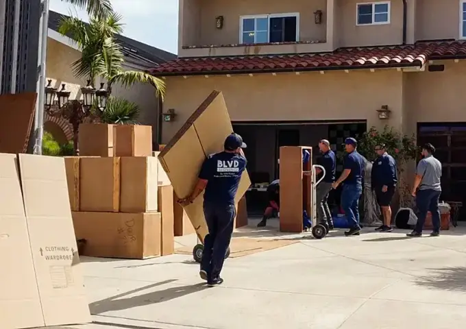
01. Local MovingGet a Free Quote
A seamless neighborhood move with careful handling and personalized service tailored to your timeline.
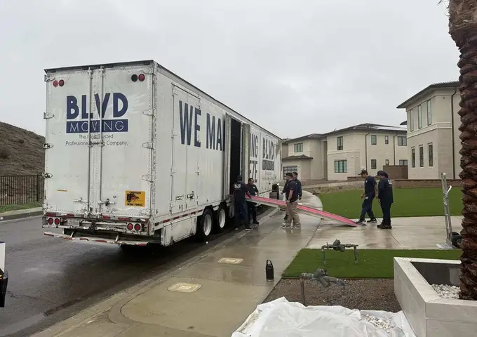
02. Residential MovingGet a Free Quote
Our team moves your household with care, making your relocation simple and efficient from start to finish.
03. Commercial MovingGet a Free Quote
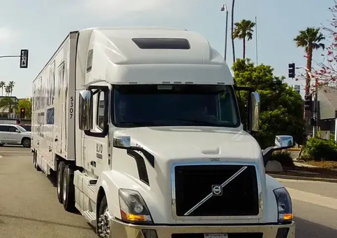
A streamlined office relocation featuring secure transport and minimal downtime for your business.
04. Long Distance MovingGet a Free Quote
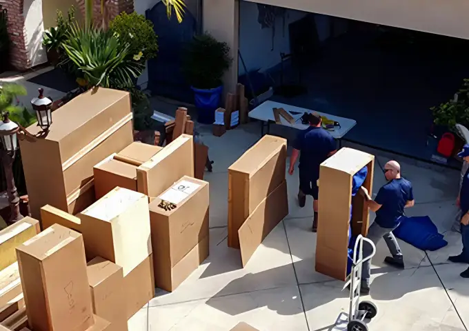
A trusted cross-country move featuring reliable transport and attentive care every mile of the way.
05. Office MovingGet a Free Quote
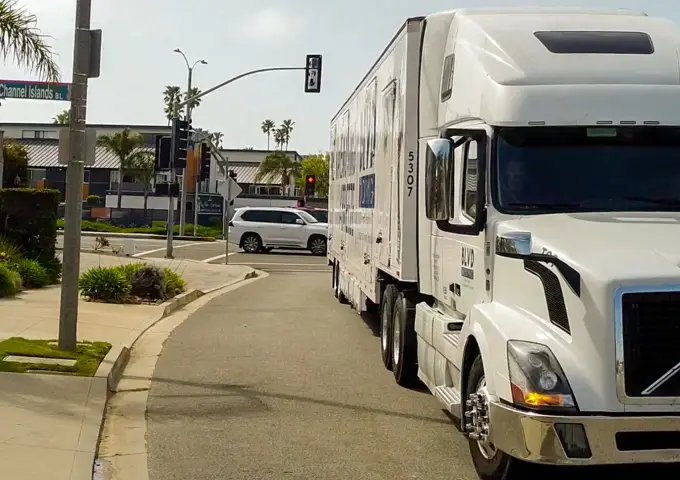
Our experienced movers relocate offices of all sizes, ensuring your workspaces are set up with care.
06. Storage SolutionsGet a Free Quote
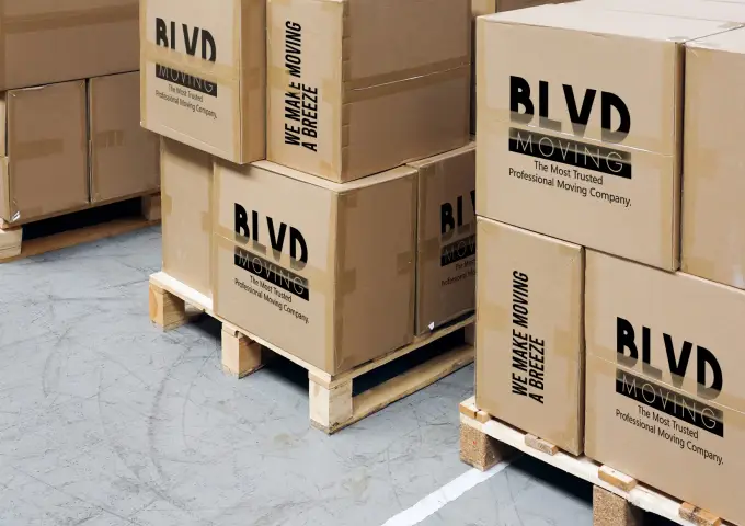
Convenient storage options providing safe, flexible solutions to keep your belongings protected.

07. Packing ServicesGet a Free Quote
Expertly organized packing solutions designed to protect every item with efficiency and care.
Customer Reviews
What Our Customers Say
Real feedback from families and businesses who moved with BLVD in Bakersfield.
“After a terrible move experience with another company, this Company was recommended to me and they were superb. The foreman met with me to confirm all of the items to be moved and his team consist of two very personable gentlemen who worked quickly and carefully. They dissembled larger items and rebuilt them at our destination and put them in place.”
“Two of my friends recommended BLVD Moving company to me and I'm glad they did. The movers were on time, professional and very efficient. Everything was taken care of with a smile and a handshake. I would definitely recommend these guys!”
“The movers were courteous and very professional. They took time and wrapped everything with care. I was impressed with the job they did. Thank you Eric and Juan for your providing me with an excellent moving experience. Now I need to see what type of service I receive at destination. I wish I could take Eric and Juan to the final destination.”
“Armando and his crew from BLVD Moving were amazing—polite, professional, and very efficient. They handled everything with great care and made the whole process stress-free. I highly recommend them for anyone looking for reliable movers in Los Angeles.”
“These guys did such a great job with our move! All of our objects arrived safe and sound for our cross-country move. They *catalogued and numbered all of our items*, so the pick-up (Guillermo and Walter in MA) and drop-off (Chris, Fabian and Daniel in AZ) experience was extremely smooth and efficient. Everybody was very professional and accommodating (and even helped us solve some packing issues we had). I heard so many horror stories about moving companies, but this wasn’t one. Shout out to James B. from the CA office too!”
“Best moving experience I’ve ever had! The team was professional, efficient, and very respectful of my belongings. Five stars all the way.”
“Jhon & alex were amazing. My apartment said their truck would fit, but it didn’t, so he rented a smaller truck and brought my stuff over in 2 trips. Great guys!!!!”
“Wilfrido and Juan C provided excellent customer service and care during our drop off delivery today. The communication from them made me feel at ease and they were very thorough in producing good quality work in terms of assemble of our furniture. They arrived in a timely fashion based on their phone call to provide ETA. Very good service provided by these two men.”
Official planning resources for Bakersfield
Verify current parking, street-use, and truck-access rules before moving day. Municipal requirements and fees can change.
Page guidance reviewed 2026-07-16.
- City of Bakersfield licenses and street permits
Official links for street and encroachment permits and other city approval processes.
- California Truck Network
Caltrans route information for State Route 99, State Route 58, and other California truck-access roads.
- Kern County road and public works information
Confirm current county road conditions, permits, restrictions, and agency contacts.
- California household mover information
Review current California licensing, written-estimate, agreement, and consumer-protection information.
- Caltrans QuickMap
Check current state-highway traffic, closures, chain controls, and incidents near the planned route.
Move-planning profile
Prepare the details for a Bakersfield move
A useful estimate depends on the shipment and both properties—not just the city name. Confirm current rules with the property, municipality, or road authority responsible for each address.
Origin and destination access
Record stairs, elevator rules, loading areas, gate codes, long carries, narrow approaches, and any certificate-of-insurance requirements.
Inventory and protection
Identify large, fragile, high-value, disassembled, packed, crated, or storage-bound items before the written estimate is prepared.
Date and route constraints
Confirm building windows, curb access, road restrictions, weather exposure, and the requested pickup and delivery timing.
Postal references
Use the destination’s complete address when requesting service; ZIP references alone do not establish availability.
- 93301
- 93304
- 93306
- 93311
- 93312
Street and route references
These Kern County references can help identify the route area. Verify truck access and curb rules for the exact addresses.
- State Route 99
- State Route 58
- Rosedale Highway
- Stockdale Highway
- California Avenue
Smart Moves Start Here
Bakersfield Moving Checklist
Confirm street access, the state-highway route, weather, air quality, and property requirements.
Check street and encroachment permits
Use Bakersfield city permit resources when the truck, equipment, or loading plan will occupy or affect public space.
Verify the truck route
Use current Caltrans and local information for the approach from State Route 99 or 58 to the final address.
Plan around heat and air quality
Check current conditions, schedule strenuous work appropriately, and identify belongings that need limited exposure.
Confirm gated and rural access
Provide gate procedures, road surface, vehicle clearance, turnaround space, parking, stairs, and carrying distance.
Trust Experienced Bakersfield Movers
Bakersfield has its own access patterns, parking rules, and building constraints. Local movers who know the area can keep the day on schedule and protect your belongings.
Book Off-Season for Savings
Moving in fall or winter typically means lower rates and more scheduling flexibility. Summer is the most expensive and busiest moving season.
Service Coverage
Bakersfield Move-Planning References
93301
93304
93306
93311
93312
State Route 99
State Route 58
Rosedale Highway
Stockdale Highway
California Avenue
Connect the highway route to the property route
State Route 99 or 58 may handle the regional portion of the trip, but the last miles determine whether the moving vehicle can legally and safely reach the residence.
Check public-space use
If the truck, ramp, equipment, or reserved loading area will affect a public street or right of way, check Bakersfield’s current street and encroachment permit resources before scheduling.
Prepare for heat and air conditions
Use current forecasts and air-quality information rather than relying on seasonal assumptions. Adjust the sequence for crew safety and for belongings that should not remain in an unconditioned vehicle.
Describe suburban and rural access
Provide gate codes, community contacts, road surface, low branches, bridge or driveway limits, parking location, turnaround space, stairs, and the full carrying distance.
Your Questions, Answered
Frequently Asked Questions
Can a Bakersfield street permit be needed for moving activity?
The City of Bakersfield publishes street and encroachment permit resources. Ask the responsible department whether the planned use of public space requires approval.
What route details matter for a Bakersfield move?
Confirm the legal truck route from State Route 99 or 58, the final arterial, local restrictions, road width, gates, and safe parking or turnaround space.
How should summer heat be considered?
Choose a safe work window, keep hydration available, and identify electronics, art, plants, food, medication, candles, and other heat-sensitive property.
What affects the cost of a Bakersfield move?
Inventory, route, labor, parking, access, stairs, carrying distance, packing, materials, storage, timing, and special handling shape the estimate.
Can BLVD Moving handle an interstate move from Bakersfield?
Interstate service is available subject to route, date, inventory, access, and service confirmation through the written estimate and move documents.